Surveying, Geospatial Mapping & Drone Services
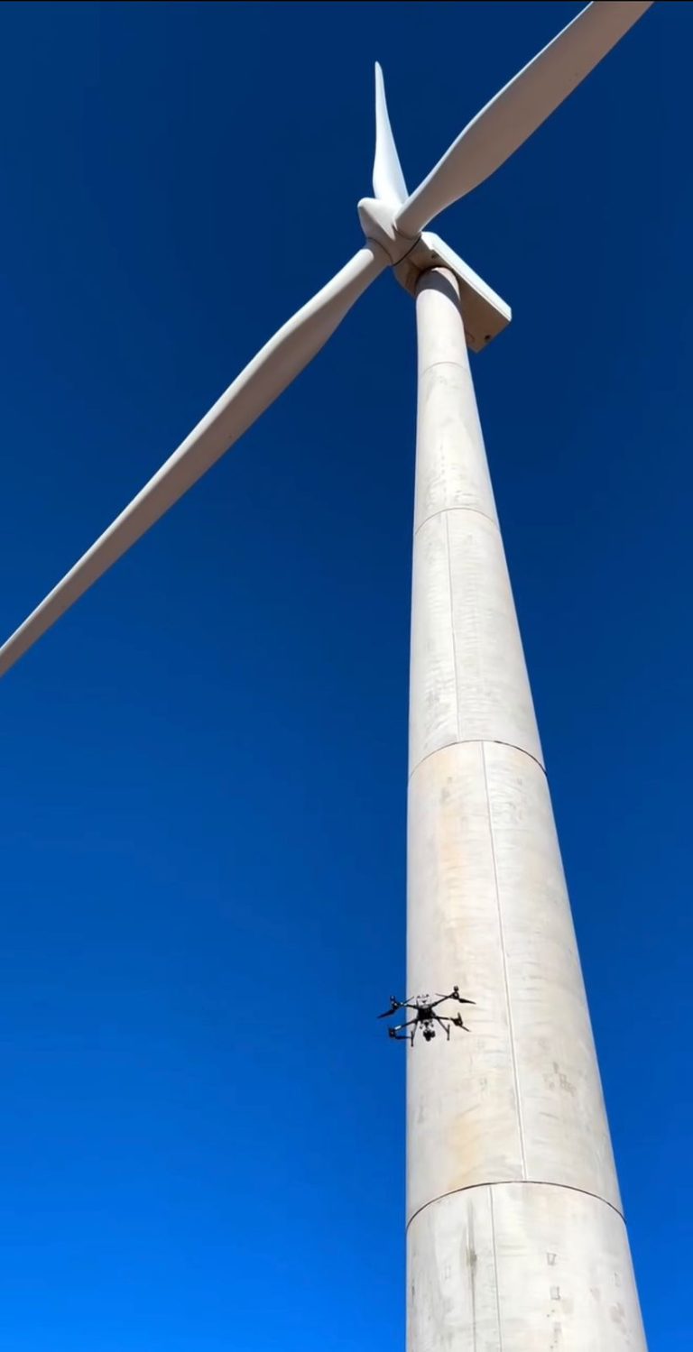
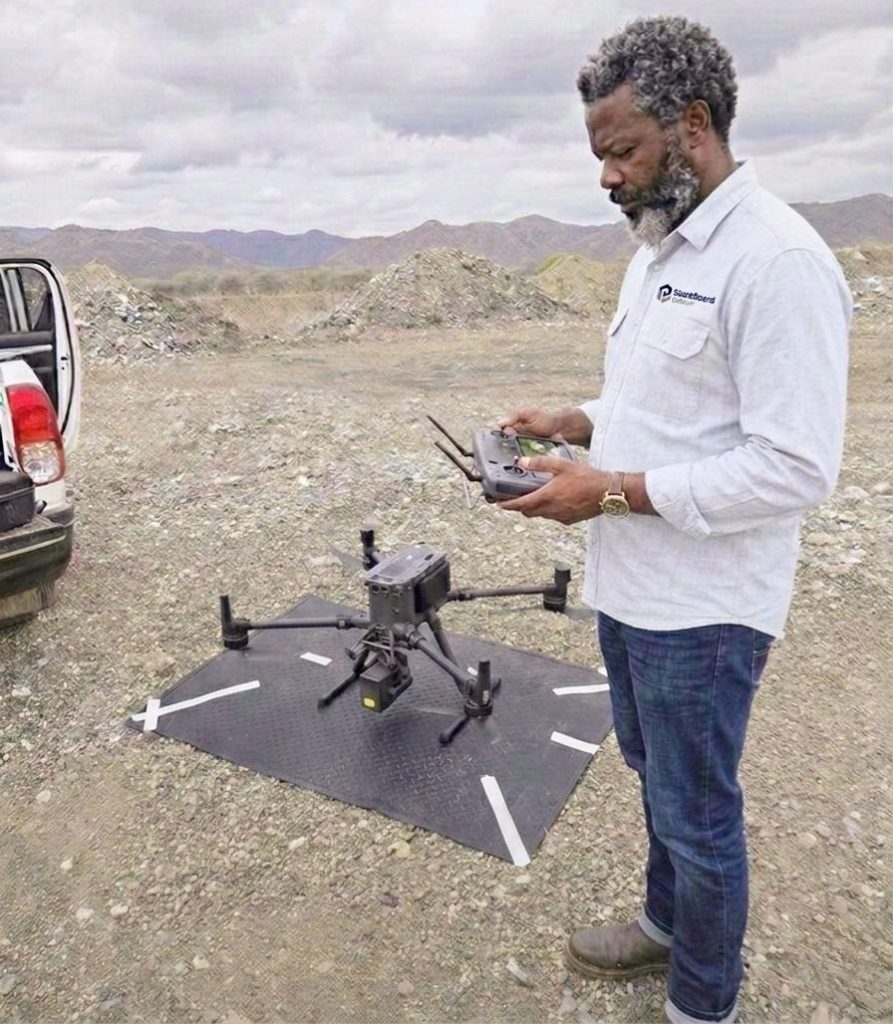
A core differentiator of BlackBeard Group is our advanced geospatial and BVLOS-certified drone capability, supporting engineering, mining, and infrastructure projects.
Surveying & Mapping
- Land and topographic surveys
- LiDAR terrain and structural modelling
- GPR surveys for buried services and utilities
Construction & Infrastructure Monitoring
- Progress tracking and as-built verification
- Cut-and-fill volume reporting
- Condition assessments and risk diagnostics
Mining & Industrial Drone Services
- Stockpile volumetrics and reconciliation
- Blast monitoring and fragmentation analysis
- Mine planning support and 3D modelling
- Haul road, slope stability, and tailings dam inspections
- Environmental compliance monitoring